
All servicesSERVICE 04 / A DIFFERENT PERSPECTIVE
Drone surveys & aerial mapping
Bring aerial perspective to site mapping, construction documentation and land assessment. Capture scope, permissions, control requirements and achievable accuracy are confirmed for each location before mobilisation.
Request this service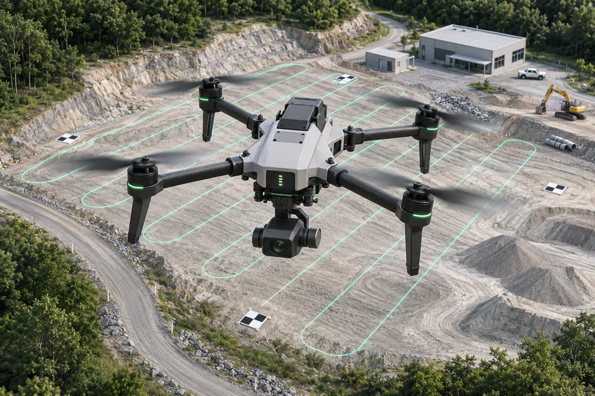
SCOPE THE RIGHT WORKWhat we can
What we can
help you with.
- Site and terrain mapping
- Construction progress capture
- Aerial imagery and 3D reconstruction
- Control and checkpoint planning
Useful to have ready
Site boundary, location, intended use, required resolution, access and airspace/permit information.
Don’t have everything yet? Start with what you know. Scope, schedule, price and achievable accuracy are confirmed after review.
LET’S MAP OUT YOUR NEXT PROJECTYou have a challenge.
Request a project quote You have a challenge.
Let’s find the right approach.
A new survey. An existing dataset. A complex mapping requirement.
Start with a brief, and we’ll take it from there.