All servicesSERVICE 05 / FROM FLIGHT TO INSIGHT
Drone data processing
Process existing imagery and point clouds into georeferenced deliverables. We review capture coverage, overlap, control and image quality first, then agree the processing workflow and acceptance criteria.
Request this service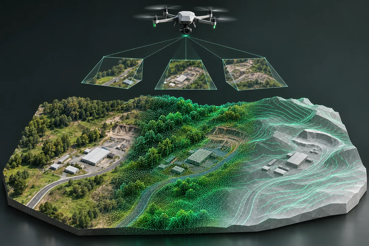
SCOPE THE RIGHT WORKWhat we can
What we can
help you with.
- Photogrammetry and image alignment
- Orthomosaic and elevation-model generation
- LiDAR cleaning, classification and ground filtering
- Contours, quantities and cut/fill analysis
Useful to have ready
Sample imagery or LiDAR, capture details, GNSS/IMU metadata, control/checkpoints, CRS and desired outputs.
Don’t have everything yet? Start with what you know. Scope, schedule, price and achievable accuracy are confirmed after review.
LET’S MAP OUT YOUR NEXT PROJECTYou have a challenge.
Request a project quote You have a challenge.
Let’s find the right approach.
A new survey. An existing dataset. A complex mapping requirement.
Start with a brief, and we’ll take it from there.